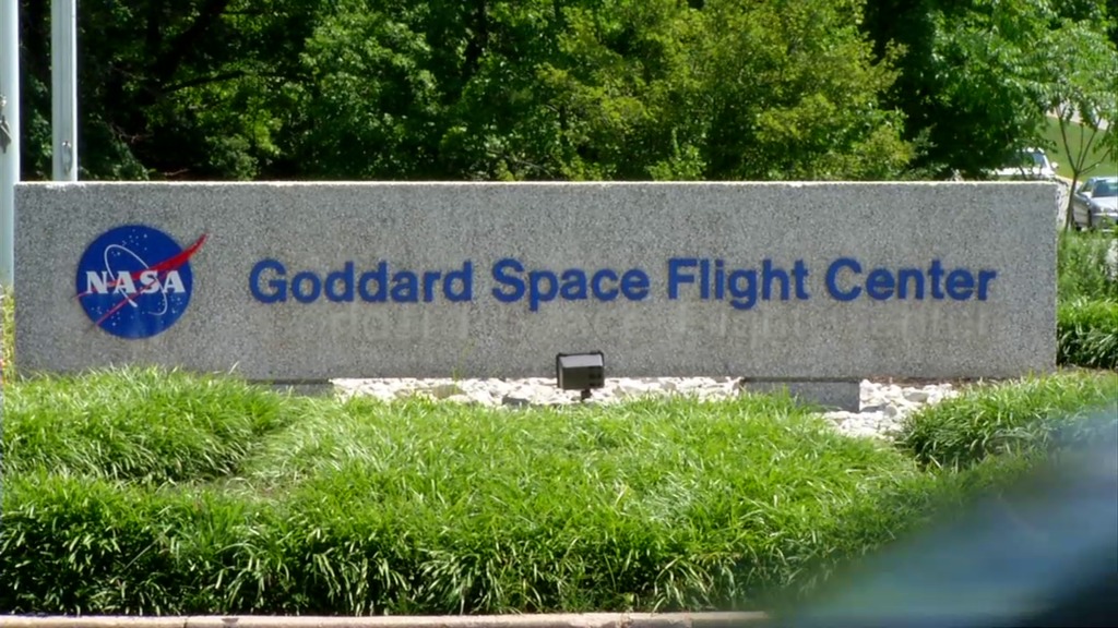
June 2014, Boulder, CO – NASA’s Goddard Space Flight Center awarded GeoVisual a Phase 1 SBIR contract for research on land cover and land use classification using satellite imagery and ground-based sensors.

June 2014, Boulder, CO – NASA’s Goddard Space Flight Center awarded GeoVisual a Phase 1 SBIR contract for research on land cover and land use classification using satellite imagery and ground-based sensors.
